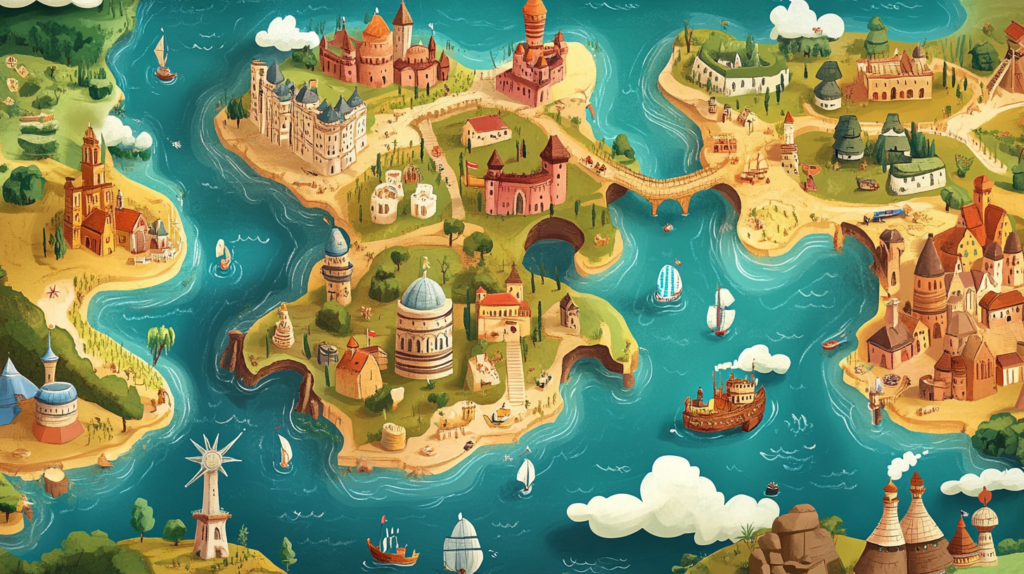
Cartoon maps are a unique and engaging way to represent locations, events, and ideas. Unlike traditional maps, which focus on accuracy and detail, cartoon maps use whimsical illustrations, playful characters, and creative layouts to capture the viewer’s attention and make the information more relatable and fun. These maps can serve a variety of purposes, from educational tools to promotional materials, and they are particularly effective at attracting readers of all ages. Here’s a closer look at why cartoon maps are so captivating and how they can be used effectively.
1. Visual Appeal and Engagement
Bright Colors and Playful Design
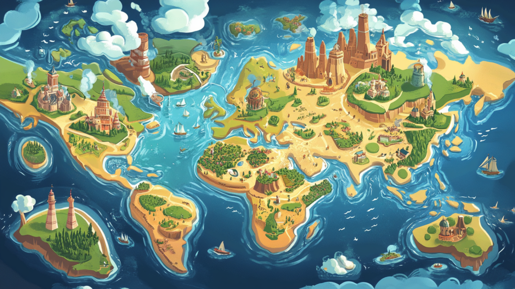
Cartoon maps are known for their bright colors and playful designs, which immediately draw the eye. The use of vibrant hues, exaggerated features, and imaginative landscapes creates a visual spectacle that stands out from the more muted tones of traditional maps. This visual appeal is particularly effective in capturing the attention of children, but it also resonates with adults who appreciate the creativity and artistry involved.
Storytelling Through Imagery
One of the most compelling aspects of cartoon maps is their ability to tell a story. Each element on the map—whether it’s a building, a character, or a landscape feature—is depicted in a way that adds narrative depth. For example, a cartoon map of a city might include caricatures of famous landmarks, each with its own humorous twist, or a map of a theme park might feature lively characters interacting with the attractions. This storytelling approach makes the map more engaging and memorable.
2. Educational and Informative
Simplifying Complex Information
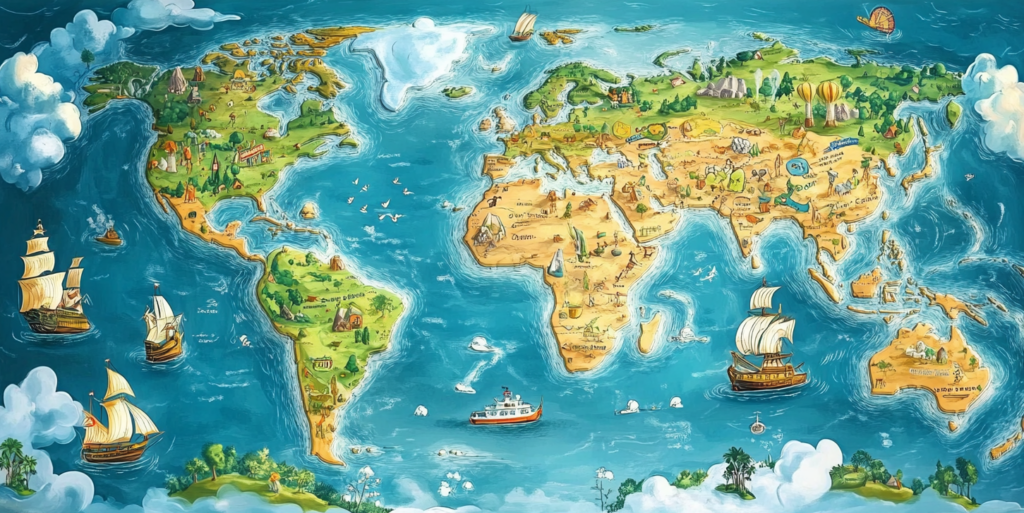
Cartoon maps excel at simplifying complex information, making it more accessible to a broad audience. By using illustrations to represent different elements, these maps can convey geographical, historical, or cultural information in a way that is easy to understand. For example, a cartoon map of a historical site might highlight key events with illustrations of important figures and actions, helping readers grasp the significance of the location.
Encouraging Exploration and Discovery
The playful nature of cartoon maps encourages readers to explore and discover more about the location or topic being depicted. The use of fun illustrations and hidden details invites viewers to spend more time with the map, noticing new elements and learning as they go. This interactive experience is particularly valuable in educational settings, where engagement and curiosity are key to effective learning.
3. Marketing and Promotional Uses
Creating Memorable Impressions
Cartoon maps are a powerful marketing tool because they create memorable impressions. Businesses, tourist attractions, and event organizers often use cartoon maps to promote their locations or services in a way that stands out. A well-designed cartoon map can become a keepsake for visitors, serving as a reminder of their experience and encouraging them to return or recommend the location to others.
Branding and Identity
Incorporating branding elements into cartoon maps can help reinforce a business’s identity. For example, a restaurant might use a cartoon map to highlight its location and nearby attractions, featuring its mascot or logo prominently within the design. This not only makes the map visually appealing but also strengthens brand recognition and loyalty.
Engaging Social Media Content
Cartoon maps are also highly shareable, making them ideal for social media marketing. The whimsical and creative nature of these maps encourages users to share them with their networks, increasing visibility and engagement. Businesses and organizations can use cartoon maps as part of a social media campaign, inviting followers to explore the map and learn more about what they offer.
4. Applications in Tourism and Travel
Guiding Visitors
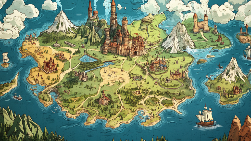
Tourist destinations often use cartoon maps to guide visitors through cities, parks, and attractions. These maps provide an overview of key sites while adding a layer of entertainment. For instance, a cartoon map of a zoo might depict the animals in exaggerated, humorous poses, making the map not only informative but also a fun part of the visitor experience.
Highlighting Local Culture
Cartoon maps can also be used to highlight the unique culture and character of a location. By incorporating local landmarks, traditions, and folklore into the design, these maps give visitors a sense of place and a deeper appreciation for the area they are exploring. This cultural connection enhances the travel experience and makes the destination more memorable.
Souvenirs and Keepsakes
Many travelers enjoy taking home a souvenir that reminds them of their trip, and cartoon maps make perfect keepsakes. Whether they are printed on posters, postcards, or brochures, these maps are often cherished by tourists as a fun and artistic representation of their journey. Some places even offer custom cartoon maps as part of their merchandise, adding to the appeal.
5. Creative and Artistic Expression
Showcasing Artistic Talent
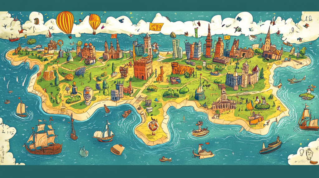
Creating a cartoon map requires a blend of artistic skill and creativity. Artists who specialize in this genre have the opportunity to showcase their talent by designing maps that are not only functional but also works of art. The freedom to play with proportions, perspectives, and styles allows artists to inject personality and humor into their work, making each map a unique piece of creative expression.
Adapting to Different Themes
Cartoon maps are versatile and can be adapted to fit a wide range of themes and styles. Whether it’s a map of a fantasy world, a historical journey, or a futuristic city, the artist can tailor the design to match the mood and message of the project. This adaptability makes cartoon maps suitable for everything from children’s books to corporate presentations.
Collaborative Projects
Cartoon maps can also be collaborative projects, bringing together artists, writers, and subject matter experts to create something truly special. For example, a map of a national park might involve collaboration between an artist, a naturalist, and a park historian, resulting in a map that is both visually stunning and rich in information. These collaborative efforts can lead to innovative and engaging final products.
6. Engaging the Audience
Interactive Elements
Some cartoon maps include interactive elements, such as fold-out sections, pop-ups, or digital features like QR codes that lead to additional content. These elements engage the audience further, turning the map into a multi-sensory experience. Interactive maps can be particularly effective in educational settings, where they can be used to create hands-on learning activities.
Appealing to All Ages
While cartoon maps are often associated with children, their appeal extends to all age groups. Adults appreciate the humor, creativity, and artistry that go into these maps, making them a versatile tool for engaging a broad audience. Whether it’s a family-friendly map of a theme park or a satirical depiction of a city’s landmarks, cartoon maps have the power to captivate readers of all ages.
Personalized Maps
Personalized cartoon maps are becoming increasingly popular, allowing individuals or businesses to create maps tailored to their specific needs. This could include a custom map of a wedding venue, a company campus, or even a person’s life journey. Personalized maps add a special touch, making them meaningful and memorable for those who receive them.
7. The Enduring Appeal of Cartoon Maps
Cartoon maps are a unique and effective way to capture the attention of readers, blending art, humor, and information into one engaging package. Whether used for education, marketing, tourism, or simply for fun, these maps offer a creative approach to conveying complex information in an accessible and memorable way. Their visual appeal, storytelling potential, and ability to connect with a wide audience ensure that cartoon maps will continue to be a beloved tool for communication and expression for years to come.
This post was created with our nice and easy submission form. Create your post!


